Metadata
Cycleways
- Title
- CycleWay
- Alternative Title
- Cycle Route, Cycleway, Cycle Way, Cycle Lanes
- Dataset Language
- eng
- Abstract
-
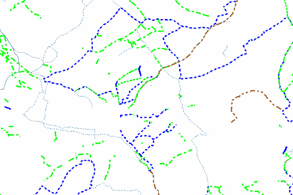
The dataset consists of the following nine types of cycleways as well as cycle features:
- On Carriageway
- Mandatory Cycle Lane
- Advisory Cycle Lane
- Advisory Route
- Off Carriageway
- Adjacent Use
- Shared Use
- On ROW
- Footpath (CTO)
- Cyclepath
- Bridleway/Byway/BOAT
- Privately Owned
- Existing Cycle Features
- Advance Stop Lines
- Cycle Parking
- On Carriageway
- Topic Category
- transportation
- Keyword
- Keyword Value: Cycleway
Originating Controlled Vocabulary: GEMET - INSPIRE Spatial Data Themes (GEMET)
Originating Controlled Vocabulary Citation: 2008-01-01 - Temporal Extent
- from unknown to 2009-07
- Dataset Reference Date
- Date: 2009-07
Date Type: Publication - Lineage
- The districts were asked to draw the cycle routes on blank 10k maps provided by Herts. Highways.
The data received was of various qualities and whilst some were very comprehensive and accurate, others did not provide any data. Where no plans were received, manual surveys have been carried out. The data was then digitised using GIS Software. Dubious areas were rectified with site visits and relevant amendments. -
IPR:
Product: OS MasterMap
Date: 2009 - Extent
- Hertfordshire County
- Vertical Extent
- -
- Spatial Reference System
- OSGB36 - National Grid of Great Britain
- Spatial Resolution
- 1m
- Resource Locator
- Not Publically viewable
- Internal viewer for HCC staff: Highways Webmaps-extra Viewer
- Layerfile for use by HCC internal staff: \\Geodata\HCC\Environ\Highway\cycleways\Cycleway.Lyr
- Format
- ESRI/SDE
- Responsible Organisation
- Hertfordshire County Council - Highways
Email :NSG@hertfordshire.gov.uk
Role: Resource Provider, Custodian, Point of Contact, Processor. - Limitations on Public Access
- otherRestrictions
- Use Constraints
- You must use the appropriate Copyright Acknowledgement;
For internal use:©Crown copyright and database rights Ordnance Survey AC0000849954.
For external use:© Crown copyright and database rights Ordnance Survey AC0000849954.
You are not permitted to copy, sub-licence, distribute or sell any of this data to third parties in any form.
For Publicly Available Electronic Copies the following must also be added:- The HCC Watermark;
- The phrase: "Use of this data is subject to terms and conditions." set out in a legible font and conspicuous position must form a clear hyperlink to the Ordnance Survey Copyright
- This data is supplied without guarantee or any warranty as to the accuracy, currency or completeness,
and is provided as is, excluding any warranties of any
kind, either express or implied, to the fullest extent permitted by law,including (but not limited to) satisfactory quality or fitness for a particular purpose.
- Additional information
- Resource Identifier
- Conformity
- Commission Regulation (EU) No 1089/2010 of 23 November 2010 implementing Directive 2007/2/EC of the European Parliament and of the Council
as regards interoperability of spatial data sets and services.
2010-12-08
notEvaluated
Re-designing HCC Data for INSPIRE not done - Equivalent scale
- 1:10,000
- Bounding box
- 0.76, 0.22, 51.58, 52.10
- Quality scope
- Dataset
- Spatial representation type
- vector
- Character encoding
- UTF-8
- Data quality
- -
- Maintenance information
- maintenance and update frequency: notPlanned
- update scope:
- maintenance note:
- Metadata update date
- 2022-04-13
- Metadata Language
- English
- Metadata Point of Contact
- Hertfordshire County Council - Corporate GIS Team
Email :gis@hertfordshire.gov.uk - Resource Type
- 6 Dataset
- File Identifier
- Cycleway
- Hierarchy level name
- dataset
- Parent identifier
- -
- Metadata standard name
- UK GEMINI
- Metadata standard version
- 2.3
- Review date
- -
- Attributes
-
Name Long Name Description
- OSGB36 National Grid Bounding Coordinates
- West: 486000 East: 552000 North: 245000 South: 189000
- More Information
- Change History
-->