Metadata
Scheme Database
- Title
- Scheme Database
- Alternative Title
- Scheme Database
- Dataset Language
- eng
- Abstract
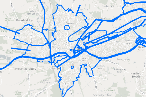
- This layer is a dataset showing all known Transport (Highway) schemes. Any scheme that is being ranked or put forward for modelling purposes may be included. This data set is separate from PM Net and the IWP list.
The schemes here refer to schemes that have the ability to affect how people travel and move around the network, they are not routine or regular maintenance schemes.
The scheme database is maintained by scheme owners and as such the data is live, when they make changes it will be visible in the Virtual Operations Hub to all staff. If there are issues or queries relating to specifc schemes in this layer you must contact the scheme owner (available in attribute table) to discuss - This dataset shows the IScheme Database schemes that are deemed non sensitive.
- Topic Category
- Transport
- Keyword
- Keyword Value: Transport, IWP
Originating Controlled Vocabulary: GEMET - INSPIRE Spatial Data Themes (GEMET)
Originating Controlled Vocabulary Citation: 2008-01-01 - Temporal Extent
- from -- to -Dataset is live, any change by scheme owner will be reflected live
- Dataset Reference Date
- Date: -2022-01-01
Date Type:Revision - Lineage
-
Dataset maintained by the custodians within Highways. Any scheme owner will be responsible for maintaining their own scheme
The data within this is maintained by Scheme Owners
IPR:
Product: OS MasterMap, Highway Network
Date: - Extent
- Hertfordshire County
- Vertical Extent
- -
- Spatial Reference System
- OSGB36 - National Grid of Great Britain
- Spatial Resolution
- 1m
- Resource Locator
- Internal viewer for HCC staff: Virtual Operations Hub
- This data is visible in the Virtual Operations Hub
- Layerfile for use by HCC internal staff: N/A
- Format
- ESRI/SDE
- Responsible Organisation
- Hertfordshire County Council
Email :Gary Beaumont@hertfordshire.gov.uk
Role: Custodian, Point of Contact - Limitations on Public Access
- otherRestrictions
- Use Constraints
- Copyright controlled Ordnance Survey Derived Data. Use is subject to licence.
-
You must use the appropriate Copyright Acknowledgement;
For internal use:©Crown copyright and database rights Ordnance Survey AC0000849954.
For external use:©Crown copyright and database rights Ordnance Survey AC0000849954.
You are not permitted to copy, sub-licence, distribute or sell any of this data to third parties in any form.
For Publicly Available Electronic Copies the following must also be added:- The HCC Watermark;
- The phrase: "Use of this data is subject to terms and conditions." set out in a legible font and conspicuous position must form a clear hyperlink to https://gisinfo.hertfordshire.gov.uk/os/copyright.htm
- This data is supplied without guarantee or any warranty as to the accuracy, currency or completeness, and is provided as is, excluding any warranties of any kind, either express or implied, to the fullest extent permitted by law, including (but not limited to) satisfactory quality or fitness for a particular purpose.
- Additional information
- Scheme Database
- Scheme Database
Scheme Database is edited by scheme owners (in a separate application) and changes are computed live into the Virtual Operations Hub - Resource Identifier
- Scheme Database
- Conformity
- Commission Regulation (EU) No 1089/2010 of 23 November 2010 implementing Directive
2007/2/EC of the European Parliament and of the Council as regards interoperability of
spatial data sets and services.
2010-12-08
notEvaluated
Re-designing HCC Data for INSPIRE not done - Equivalent scale
- Bounding box
- 0.76, 0.22, 51.58, 52.10
- Quality scope
- Dataset
- Spatial representation type
- vector
- Character encoding
- UTF-8
- Data quality
- -
- Maintenance information
- maintenance and update frequency: live
- update scope: This layer will be editied live
- maintenance note:
- Metadata update date
- 2023-01-05
- Metadata Language
- English
- Metadata Point of Contact
- Hertfordshire County Council - Corporate GIS Team
Email :gis@hertfordshire.gov.uk - Resource Type
- 6 Dataset
- File Identifier
- Scheme Database
- Hierarchy level name
- dataset
- Parent identifier
- -
- Metadata standard name
- UK GEMINI
- Metadata standard version
- 2.3
- Review date
- -
- Attributes
-
Name Long Name Description
- OSGB36 National Grid Bounding Coordinates
- West: 486000 East: 552000 North: 245000 South: 189000
- More Information
- Change History