Metadata
Bedfordshire & River Ivel Internal Drainage Board
- Title
- Bedfordshire & River Ivel Internal Drainage Board
- Alternative Title
- Internal Drainage Board
-
- Dataset Language
- eng
- Abstract
-
The Bedford Group of Drainage Board comprises three Internal Drainage Boards (IDB) which are situated in the upper reaches of the Great Ouse river. IDB's are locally elected bodies which manage
drainage sensitive areas, to maximise food production, mitigate the impact on biodiversity from development programmes, etc.
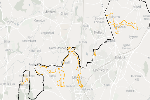
Within Hertfordshire a small part of the Bedfordshire and River Ivel IDB extents into the County in the North.
- Topic Category
- environment
- Keyword
- Keyword Value: Internal Drainage Boards
Originating Controlled Vocabulary: GEMET - INSPIRE Spatial Data Themes (GEMET)
Originating Controlled Vocabulary Citation: 2008-01-01
- Temporal Extent
- from -1960- to -2013-04
- Dataset Reference Date
- Date:2011-08-10 -2013-04
Date Type:publication, revision
- Lineage
- This data is provided by The Bedford Group of Drainage Boards , which HCC take a copy of. Their website can be found
here.
IPR:
Product:
Date:
- Extent
- Hertfordshire County
- Vertical Extent
- -
- Spatial Reference System
- OSGB36 - National Grid of Great Britain
- Spatial Resolution
- 1m
- Resource Locator
-
- Within the floodmanareas service
- Format
- ESRI/SDE
- Responsible Organisation
- The Bedgroup Group of Drainage Boards
Please email contact@idbs.org.uk. for any queries regarding the use of this data.
- Limitations on Public Access
- Copyright Controlled. Use is subject to licence.
- Use Constraints
- Please email contact@idbs.org.uk. for any queries regarding the use of this data.
- Additional information
- Resource Identifier
- Conformity
- Commission Regulation (EU) No 1089/2010 of 23 November 2010 implementing Directive 2007/2/EC of the European Parliament and of the Council
as regards interoperability of spatial data sets and services.
2010-12-08
notEvaluated
Re-designing HCC Data for INSPIRE not done
- Equivalent scale
- Bounding box
- 0.76, 0.22, 51.58, 52.10
- Quality scope
- Dataset
- Spatial representation type
- vector
- Character encoding
- UTF-8
- Data quality
- -
- Maintenance information
- maintenance and update frequency:unknown
- update scope:
- maintenance note:
- Metadata update date
- -2021-11-29
- Metadata Language
- English
- Metadata Point of Contact
- Hertfordshire County Council - Corporate GIS Team
Email :gis@hertfordshire.gov.uk
- Resource Type
- 6 Dataset
- File Identifier
- Hierarchy level name
- dataset
- Parent identifier
- -
- Metadata standard name
- UK GEMINI
- Metadata standard version
- 2.3
- Review date
- -
- Attributes
-
| Name |
Long Name |
Description |
|
|
|
|
|
|
|
|
|
|
|
|
|
|
|
|
|
|
|
|
|
- OSGB36 National Grid Bounding Coordinates
- West: 486000 East: 552000
North: 245000 South: 189000
- More Information
- Change History