Metadata
Cadent Gas Pipes
- Title
- Cadent Gas Pipes
- Alternative Title
- Cadent Pipes
-
- Dataset Language
- eng
- Abstract
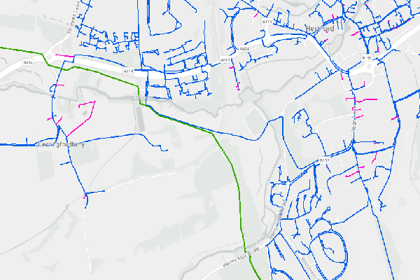
- Gas Pipe Infrastructure (underground & aboveground) owned by Cadent covering Hertfordshire. Data shows location of pipes, in addition to their
pressure tier and material. Data released under the Open Government Licence.
- Topic Category
- utilitiesCommunication
- Keyword
- Keyword Value: Utilities, Pipes
Originating Controlled Vocabulary: GEMET - INSPIRE Spatial Data Themes (GEMET)
Originating Controlled Vocabulary Citation: 2008-01-01
- Temporal Extent
- Correct as of 05/01/2023
- Dataset Reference Date
- Date: 05/01/2023
Date Type: Revision
- Lineage
-
Data obtained from the Cadent website. Although available on Open Government Licence it requires a login with the cadent portal.
IPR: Cadent
Product:
Date: 05/01/2023
- Extent
- Hertfordshire County
- Vertical Extent
- -
- Spatial Reference System
- OSGB36 - National Grid of Great Britain
- Spatial Resolution
- 1m
- Resource Locator
- Available in Portal.
- Format
- ESRI/SDE (Amenities)
- Responsible Organisation
- Cadent Gas
- Limitations on Public Access
- otherRestrictions
- Use Constraints
- This data is available on the Open Government Licence.
You must use the following attribution statement when using the data in your work:
"Supported by Cadent Open Data"
- This data is supplied without guarantee or any warranty as to the accuracy, currency or completeness,
and is provided as is, excluding any warranties of any kind, either express or implied, to the fullest extent permitted by law,
including (but not limited to) satisfactory quality or fitness for a particular purpose.
- Additional information
- Resource Identifier
- Gas Pipes
- Conformity
- Commission Regulation (EU) No 1089/2010 of 23 November 2010 implementing Directive
2007/2/EC of the European Parliament and of the Council as regards interoperability of
spatial data sets and services.
2010-12-08
notEvaluated
Re-designing HCC Data for INSPIRE not done
- Equivalent scale
- Bounding box
- 0.76, 0.22, 51.58, 52.10
- Quality scope
- Dataset
- Spatial representation type
- vector
- Character encoding
- UTF-8
- Data quality
- -
- Maintenance information
- maintenance and update frequency:unknown
- update scope: When Cadent Gas release new data
- maintenance note:
- Metadata update date
- 2023-09-26
- Metadata Language
- English
- Metadata Point of Contact
- Hertfordshire County Council - Corporate GIS Team
Email :gis@hertfordshire.gov.uk
- Resource Type
- 6 Dataset
- File Identifier
- Gas Pipes
- Hierarchy level name
- dataset
- Parent identifier
- -
- Metadata standard name
- UK GEMINI
- Metadata standard version
- 2.3
- Review date
- -
- Attributes
-
| Name |
Long Name |
Description |
|
|
|
|
|
|
|
|
|
|
|
|
|
|
|
|
|
|
|
|
|
- OSGB36 National Grid Bounding Coordinates
- West: 486000 East: 552000
North: 245000 South: 189000
- More Information
- Change History