Metadata
Admissions Designated Routes
- Title
- DesignatedRoute
- Alternative Title
- DesRoute08, Unsafe, DesRoutesSafe
- Dataset Language
- eng
- Abstract
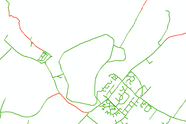
- HCC Admissions Designated Route Network, used for allocating Transport to Schools. The "designated route" are routes which pupils are able to walk to school along.
- Topic Category
- Transportation
- Keyword
- Keyword Value: Schools
Originating Controlled Vocabulary: GEMET - INSPIRE Spatial Data Themes (GEMET)
Originating Controlled Vocabulary Citation: 2008-01-01 - Temporal Extent
- from 2007-10 to 2021-02
- Dataset Reference Date
- Date: 2021-02
Date Type: revision - Lineage
-
Originally based on a modified version of Ordnance Survey ITN network.
All paths were added in 2008, when this was redesigned (hence some references to "DesignatedRoute(s)08/2008").
Parts of the highway network are deemed "Unsafe".
In order to mark parts as unsafe, the original ITN Links themselves need to be split. Other changes need to be made to allow for new safe walking paths and road bridges.
Once created, the Safe Routes are saved as a seperate layer to be used by Admissions in their system (Serverlec "Synergy" System - previously, and still in file names "Tribal"), and both then converted to .TAB format.
IPR:Ordnance Survey
Product:ITN
Date:2018 - Extent
- Hertfordshire County
- Vertical Extent
- -
- Spatial Reference System
- OSGB36 - National Grid of Great Britain
- Spatial Resolution
- 1m
- Resource Locator
- Layerfile for use by HCC internal staff: \Geodata\HCC\Educat\Des_routes\DR_2008
- Format
- ESRI/Shape file, MI/TAB
- Responsible Organisation
- Hertfordshire County Council - Corporate GIS Team
Email :gis@hertfordshire.gov.uk
Role: Resource Provider, Custodian, Owner, Distributor, Originator, Point of Contact, Processor, Publisher, Author. - David Court - Admissions and Transport
Email :david.court@hertfordshire.gov.uk
Role: Custodian - Limitations on Public Access
- OtherRestrictions
- Use Constraints
- Licensed under the Public Sector Geospatial Agreement;
-
You must use the appropriate Copyright Acknowledgement;
For internal use:©Crown copyright and database rights 2020 Ordnance Survey AC0000849954.
For external use:© Crown copyright and database rights 2020 Ordnance Survey AC0000849954.
You are not permitted to copy, sub-licence, distribute or sell any of this data to third parties in any form.
For Publicly Available Electronic Copies the following must also be added:- The HCC Watermark;
- The phrase: "Use of this data is subject to terms and conditions." set out in a legible font and conspicuous position must form a clear hyperlink to https://gisinfo.hertfordshire.gov.uk/os/copyright.htm
- This data is supplied without guarantee or any warranty as to the accuracy, currency or completeness, and is provided as is, excluding any warranties of any kind, either express or implied, to the fullest extent permitted by law, including (but not limited to) satisfactory quality or fitness for a particular purpose.
- Additional information
- Resource Identifier
- Conformity
- Commission Regulation (EU) No 1089/2010 of 23 November 2010 implementing Directive 2007/2/EC of the European Parliament and of the Council
as regards interoperability of spatial data sets and services.
2010-12-08
notEvaluated
Re-designing HCC Data for INSPIRE not done - Equivalent scale
- 1m
- Bounding box
- 0.76, 0.22, 51.58, 52.10
- Quality scope
- Dataset
- Spatial representation type
- vector
- Character encoding
- UTF-8
- Data quality
- -
- Maintenance information
- maintenance and update frequency: unknown
- update scope:feature
- maintenance note:
- Metadata update date
- --
- Metadata Language
- English
- Metadata Point of Contact
- Hertfordshire County Council - Corporate GIS Team
Email :gis@hertfordshire.gov.uk - Resource Type
- 6 Dataset
- File Identifier
- Hierarchy level name
- dataset
- Parent identifier
- -
- Metadata standard name
- UK GEMINI
- Metadata standard version
- 2.3
- Review date
- -
- Attributes
-
Name Long Name Description
- OSGB36 National Grid Bounding Coordinates
- West: 486000 East: 552000 North: 245000 South: 189000
- More Information
- Change History