Metadata
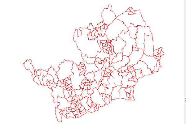
OS Boundary-Line - Administrative Areas
- Title
- Ordnance Survey Boundary-Line™
- Alternative Title
- AdminAreas
- Dataset Language
- eng
- Abstract
- Boundary-Line ™ is a specialist 1:10 000 scale boundaries dataset.
It contains all levels of electoral and administrative boundaries, for the Administrative Areas accross the whole of Great Britain.
Boundaries for the areas are defined legally at MasterMap (1:1250 scale), but BoundayLine is used for nearly all other purposes. - Topic Category
- Boundaries
- Keyword
- Keyword Value: Administrative Units
Originating Controlled Vocabulary: GEMET - INSPIRE Spatial Data Themes (GEMET)
Originating Controlled Vocabulary Citation: 2008-01-01 - Temporal Extent
- from -- to 2019
- Dataset Reference Date
- Date: 2021-05-06
Date Type: Update - Lineage
-
Processed directly from the OS to clip for Hertfordshire Boundaries and to make a whole "First Tier" Dataset to cover the whole of Great Britain.
First Tier: Counties, Unitary Authories, London Boroughs or Metropolitan Districts
IPR: Ordnance Survey
Product: Boundary-Line ™
Date: 2021 - Extent
- Great Britain
- Vertical Extent
- -
- Spatial Reference System
- OSGB36 - National Grid of Great Britain
- Spatial Resolution
- 1:10,000
- Resource Locator
- Public Viewer: Hertfordshire Map
- Layerfile (s) for user by HCC internal staff:\Geodata\OSOpenData\BoundaryLine
- Format
- ESRI/SDE
- Responsible Organisation
- Hertfordshire County Council - Corporate GIS Team
Email :gis@hertfordshire.gov.uk
Role: Resource Provider, Custodian, Owner, Distributor, Originator, Point of Contact, Processor, Publisher, Author. - Limitations on Public Access
- licence
- Use Constraints
- Licence:Open Government Licence
- You must use the following Copyright Acknowledgement:
Contains OS data © Crown copyright and database right
- This data is supplied without guarantee or any warranty as to the accuracy, currency or completeness, and is provided as is, excluding any warranties of any kind, either express or implied, to the fullest extent permitted by law, including (but not limited to) satisfactory quality or fitness for a particular purpose.
- Additional information
- This dataset is derived from Ordnance Survey Boundary-Line: Boundary-Line - Ordnance Survey Information Page
- Resource Identifier
- Conformity
- Commission Regulation (EU) No 1089/2010 of 23 November 2010 implementing Directive
2007/2/EC of the European Parliament and of the Council as regards interoperability of
spatial data sets and services.
2010-12-08
notEvaluated
Re-designing HCC Data for INSPIRE not done - Equivalent scale
- Bounding box
- 0.76, 0.22, 51.58, 52.10
- Quality scope
- series
- Spatial representation type
- vector
- Character encoding
- UTF-8
- Data quality
- -
- Maintenance information
- maintenance and update frequency: Yearly
- update scope:Dataset
- maintenance note:
- Metadata update date
- 2021-06-03
- Metadata Language
- English
- Metadata Point of Contact
- Hertfordshire County Council - Corporate GIS Team
Email :gis@hertfordshire.gov.uk - Resource Type
- 7 series
- File Identifier
- BoundaryLine
- FirstTier
- Great Britain
- HertsCounty
- HertsDistrict
- HertsParish
- HertsParlcons
- HertsWards
- HistoricCounties
- PollingDistricts
- Hierarchy level name
- series
- Parent identifier
- -
- Metadata standard name
- UK GEMINI
- Metadata standard version
- 2.3
- Review date
- -
- Attributes
-
Attribution includes: High water mark; Unique identifiers -
For administrative areas, polygons and links; Area measurements;
Definitive names; Census codes.
Name Long Name Description
- OSGB36 National Grid Bounding Coordinates
- West: 486000 East: 552000 North: 245000 South: 189000
- More Information
- Change History
- Boundary Changes tend to come into affect in May, at the same time as the relevant Elections
- Wards 2022 - St Alban's Ward Boundary Review (2020) has been completed, but the changes have been deferred until next year.
- Electoral Divisions 2021 - Following the Parish Changes in East Herts
- Parishes 2020: Slight change in Parish boundaries in East Herts between Buntingford and Cottered
- January 31st 2020 - The UK leaves the European Union - European Parliamentary Constituencies abolished (dataset included in this series)
- Wards 2019: 179 Wards - Slight Ward changes in East Herts; full review in Hertsmere increasing from 15 to 16
- Parishes 2017: New Parish in Three Rivers
- Wards 2016: 178 Wards - Changes in Watford and Welwyn Hatfield (including decreasing from 17 to 16)
- Wards 2014: 179 Wards - Changes in Three Rivers leading to a decrease from 20 to 13
- Districts (Leading to Wards)2013: Change between Stevenage and East Herts
- Districts 2012: Welwyn Hatfield and St Albans
- Wards 2012: 186 Wards - Broxbourne changes - 13 to 10 (and included small changes in Welhat and St Albans)
- Wards 2008: 189 Wards - Major changes in Dacorum and Welwyn Hatfield
- Wards 2001: Wards C01=193 Wards