Metadata
OS Mastermap
- Title
- OS MasterMap® Topography Layer
- Alternative Title
- OSMM Topo
- Dataset Language
- eng
- Abstract
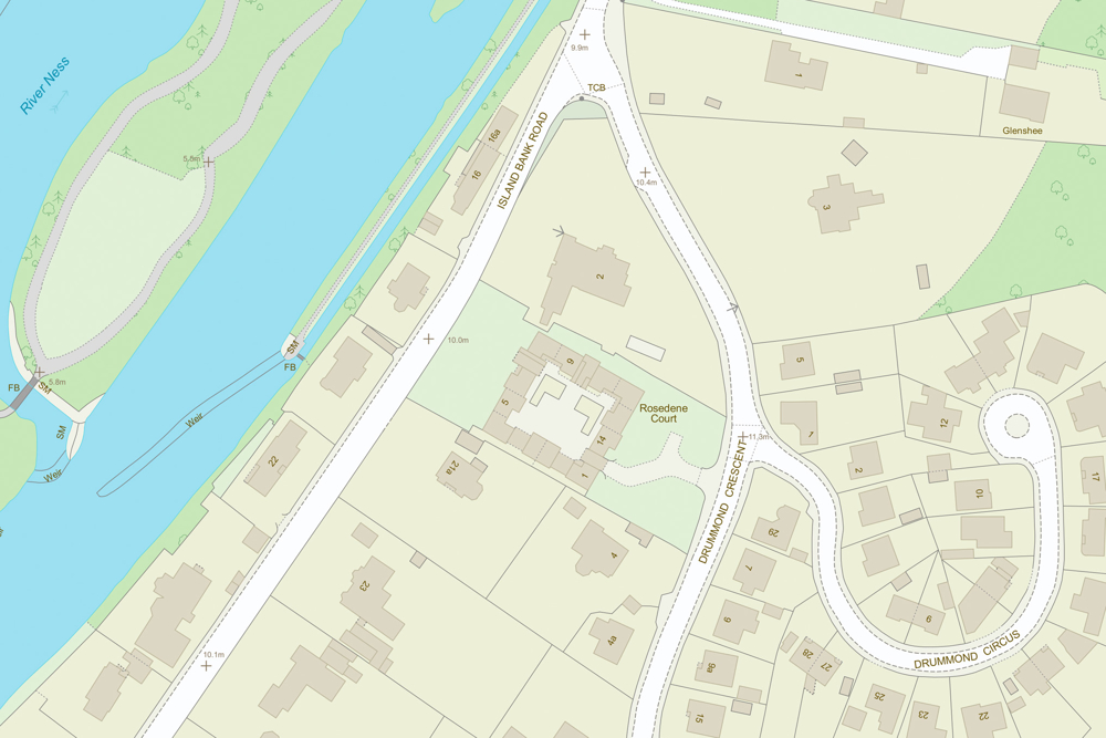
- OS MasterMap Topography Layer is the most detailed and accurate view of Great Britain's landscape. It includes features representing the manmade and natural environment, including: roads, tracks and paths; land cover; buildings; water; rail; height;heritage; structures and; administrative boundaries
- Topic Category
- imageryBaseMapsEarthCover
- Keyword
- Keyword Value:Topographic
Originating Controlled Vocabulary: GEMET - INSPIRE Spatial Data Themes (GEMET)
Originating Controlled Vocabulary Citation: 2008-01-01 - Temporal Extent
- Dataset Reference Date
- Date: Please contact the Coporate GIS Team at GIS@hertfordshore.gov.uk for the latest Ordnance Survey dataset versions.
Date Type: Revision - Lineage
-
IPR: Ordnance Survey
Product: OS MasterMap®
Date: See Dataset Reference Date Above - Extent
- Hertfordshire County + 5 kilometer rounded buffer
- Vertical Extent
- -
- Spatial Reference System
- OSGB36 - National Grid of Great Britain
- Spatial Resolution
- 1m
- Resource Locator
- Layerfile for use by HCC internal staff:\Geodata\OS\MasterMap\MasterMap_Topo\MM_Topo_Schema 9 Layerfiles
- https://os.uk/business-and-government/products/topography-layer.html
- Format
- ESRI/SDE
- Responsible Organisation
- Ordnance Survey
Email :customerservices@os.uk
Role: Resource Provider, Custodian, Owner, Distributor, Originator, Point of Contact, Processor, Publisher, Author. - Limitations on Public Access
- otherRestrictions
- Use Constraints
- Copyright controlled Ordnance Survey Derived Data. Use is subject to licence.
- You must use the appropriate Copyright Acknowledgement;
For internal use:©Crown copyright and database rights Ordnance Survey 100019606.
For external use:© Crown copyright and database rights Ordnance Survey 100019606.
You are not permitted to copy, sub-licence, distribute or sell any of this data to third parties in any form.
For Publicly Available Electronic Copies the following must also be added:- The HCC Watermark;
- The phrase: "Use of this data is subject to terms and conditions." set out in a legible font and conspicuous position must form a clear hyperlink to the Ordnance Survey Copyright
- Use limitation dependent upon licence from Ordnance Survey
- This data is supplied without guarantee or any warranty as to the accuracy, currency or completeness,
and is provided as is, excluding any warranties of any kind, either express or implied, to the fullest extent permitted by law, including (but not limited to) satisfactory quality or fitness for a particular purpose. - Licensing and agreements Choose the best Ordnance Survey licence for you.
- Additional information
- Resource Identifier
- Conformity
- Commission Regulation (EU) No 1089/2010 of 23 November 2010 implementing Directive
2007/2/EC of the European Parliament and of the Council as regards interoperability of spatial data sets and services.
2010-12-08
notEvaluated
OS MasterMap Topo is not an INSPIRE dataset. - Equivalent scale
- 10000
- Bounding box
- 0.76, 0.22, 51.58, 52.10
- Quality scope
- Dataset
- Spatial representation type -->
- vector
- Character encoding
- UTF-8
- Data quality
- -
- Maintenance information
- maintenance and update frequency: 6 weeks
- update scope:dataset
- maintenance note:
- Metadata update date
- -2021-12-15
- Metadata Language
- English
- Metadata Point of Contact
- Ordnance Survey Customer Services
Email :customerservices@os.uk
Role: Resource Provider, Custodian, Owner, Distributor, Originator, Point of Contact, Processor, Publisher, Author. - Resource Type
- 6 Dataset
- File Identifier
- Hierarchy level name
- dataset
- Parent identifier
- -
- Metadata standard name
- UK GEMINI
- Metadata standard version
- 2.3
- Review date
- -
- Attributes
-
Name Long Name Description
- OSGB36 National Grid Bounding Coordinates
- West: 486000 East: 552000 North: 245000 South: 189000
- More Information
- Change History
Use of the data is available to any organisation that is a member of the PSGA (Public Sector Geospatial Agreement) or any UK academic institution via Edina's subscription Digimap service. It is not currently commercially available.