Metadata
Traffic Regulation Orders
- Title
- Traffic Regulation Orders
- Alternative Title
- TRO's
- Dataset Language
- eng
- Abstract
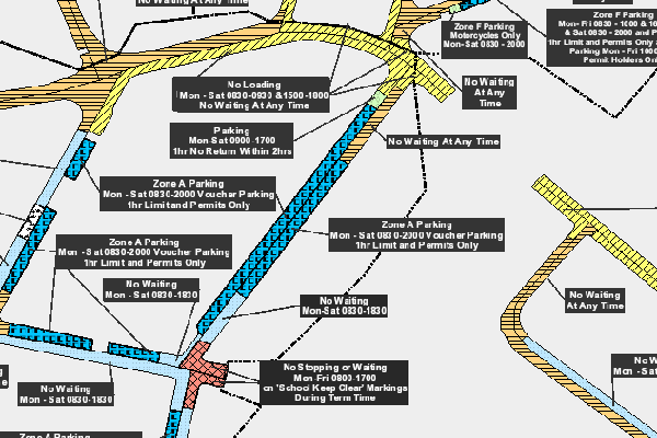
- This data shows waiting / parking restriction information across Hertfordshire (excluding Watford, Three Rivers and Dacorum).
It shows the data for those District / Borough Councils that signed up to the consolidation Order process with HCC in 2004. It's used for creating map based consolidation Orders and for Traffic Order research purposes. - Topic Category
- Transportation
- Keyword
- Keyword Value: Transport
Originating Controlled Vocabulary: GEMET - INSPIRE Spatial Data Themes (GEMET)
Originating Controlled Vocabulary Citation: 2008-01-01 - Temporal Extent
- from -2017-12-01- to -2022-10-31
- Dataset Reference Date
- Date: -2022-12-13
Date Type:Revision - Lineage
-
Dataset maintained by the Highways Data Team at tpdata@hertfordshire.gov.uk
It is updated as and when the District / Borough Councils seal their consolidation Orders.
IPR:
Product: OS MasterMap
Date: - Extent
- Hertfordshire County
- Vertical Extent
- -
- Spatial Reference System
- OSGB36 - National Grid of Great Britain
- Spatial Resolution
- 1m
- Resource Locator
- Internal viewer for HCC staff: TRO Viewer
- Source data on external servers: \geodata\TROextra.gdb
- Format
- ESRI/SDE
- Responsible Organisation
- Hertfordshire County Council - Transport Data Team
Email :tpdata@hertfordshire.gov.uk
Role: Resource Provider, Custodian, Owner, Originator, Point of Contact - Hertfordshire County Council - Corporate GIS Team
Email :gis@hertfordshire.gov.uk
Role: Distributor, Point of Contact - Limitations on Public Access
- otherRestrictions
- Use Constraints
- Copyright controlled Ordnance Survey Derived Data. Use is subject to licence.
-
You must use the appropriate Copyright Acknowledgement;
For internal use:©Crown copyright and database rights Ordnance Survey 100019606.
For external use:©Crown copyright and database rights Ordnance Survey 100019606.
You are not permitted to copy, sub-licence, distribute or sell any of this data to third parties in any form.
For Publicly Available Electronic Copies the following must also be added:- The HCC Watermark;
- The phrase: "Use of this data is subject to terms and conditions." set out in a legible font and conspicuous position must form a clear hyperlink to https://gisinfo.hertfordshire.gov.uk/os/copyright.htm
- This data is supplied without guarantee or any warranty as to the accuracy, currency or completeness, and is provided as is, excluding any warranties of any kind, either express or implied, to the fullest extent permitted by law, including (but not limited to) satisfactory quality or fitness for a particular purpose.
- Additional information
- Resource Identifier
- Traffic Regulation Orders
- Conformity
- Commission Regulation (EU) No 1089/2010 of 23 November 2010 implementing Directive
2007/2/EC of the European Parliament and of the Council as regards interoperability of
spatial data sets and services.
2010-12-08
notEvaluated
Re-designing HCC Data for INSPIRE not done - Equivalent scale
- Bounding box
- 0.76, 0.22, 51.58, 52.10
- Quality scope
- Dataset
- Spatial representation type
- vector
- Character encoding
- UTF-8
- Data quality
- -
- Maintenance information
- maintenance and update frequency: as and when District / Borough Council update their Orders.
- maintenance note:
- Metadata update date
- 2023-01-05
- Metadata Language
- English
- Metadata Point of Contact
- Hertfordshire County Council - Corporate GIS Team
Email :gis@hertfordshire.gov.uk - Resource Type
- 6 Dataset
- File Identifier
- Traffic Regulation Orders
- Hierarchy level name
- dataset
- Parent identifier
- -
- Metadata standard name
- UK GEMINI
- Metadata standard version
- 2.3
- Review date
- -
- Attributes
-
Name Long Name Description
- OSGB36 National Grid Bounding Coordinates
- West: 486000 East: 552000 North: 245000 South: 189000
- More Information
- Change History