Metadata
HCC Highways Network
- Title
- Highways Network
- Alternative Title
- Highway, Highway Hierachy, Higways Gazetteer, Roads, Routes, Primary Route Network, Streets
- Dataset Language
- eng
- Abstract
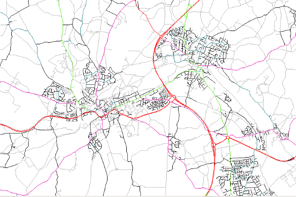
- This dataset shows the centreline geography of roads, footpaths, cycleways and Rights of Way within Hertfordshire,
providing section and street referencing.
The layer gives information on maintainability, road name and road class. - This dataset is used, queried and symbolised in different ways; altenate layers explained below.
- Topic Category
- transportation
- Keyword
- Keyword Value: Transport
Originating Controlled Vocabulary: GEMET - INSPIRE Spatial Data Themes (GEMET)
Originating Controlled Vocabulary Citation: 2008-01-01 - Temporal Extent
- ongoing
- Dataset Reference Date
- Date: 09/08/2023
Date Type:Revision - Lineage
-
Dataset maintained by the custodians with the Highways Confirm system.
The data within this is routinely maintained from information received from District Councils, Traffic Orders, Adoption agreements and National Street Gazetteer updates.
IPR: OS Licensed Data
Product: OS RAMI, MasterMap
Date: 2023 - Extent
- Hertfordshire County
- Vertical Extent
- -
- Spatial Reference System
- OSGB36 - National Grid of Great Britain
- Spatial Resolution
- 1m
- Resource Locator
- Public Webmap Viewer: Traffic Information Webmap Viewer
- Public Highways Gazetteer: Highways Gazetteer
- Internal viewer for HCC staff: Highways Webmaps-extra Viewer
- Layerfile for use by HCC internal staff: \\Geodata\HCC\Environ\Highway\network\HighwayNetwork.Lyr
- Format
- ESRI/SDE
- Responsible Organisation
- Hertfordshire County Council - Highways
Email :NSG@hertfordshire.gov.uk
Role: Resource Provider, Custodian, Owner, Originator, Point of Contact - Limitations on Public Access
- otherRestrictions
- Use Constraints
- Copyright controlled Ordnance Survey Derived Data. Use is subject to licence.
-
You must use the appropriate Copyright Acknowledgement;
For internal use:©Crown copyright and database rights Ordnance Survey 100019606.
For external use:© Crown copyright and database rights Ordnance Survey 100019606.
You are not permitted to copy, sub-licence, distribute or sell any of this data to third parties in any form.
For Publicly Available Electronic Copies the following must also be added:- The HCC Watermark;
- The phrase: "Use of this data is subject to terms and conditions." set out in a legible font and conspicuous position must form a clear hyperlink to https://gisinfo.hertfordshire.gov.uk/os/copyright.htm
- This data is supplied without guarantee or any warranty as to the accuracy, currency or completeness, and is provided as is, excluding any warranties of any kind, either express or implied, to the fullest extent permitted by law, including (but not limited to) satisfactory quality or fitness for a particular purpose.
- Additional information
- The Highway Dataset can be viewed in various ways.
- Highway Hierarchy
(The Full Dataset)
This shows the Hierarchy of the Roads. All Footpaths and other paths will show as No Code Allocated - grey - Highway Gazetteer
(The Full Dataset)
This layer shows the network by who oversees the Maintenance of the sections - Primary Route Network
(Queried Records)
Network records for Motorways, Primary A Roads, Main Distributers (other A Roads) and Secondary Distributers - Resource Identifier
- HighwaysNetwork
- Conformity
- Commission Regulation (EU) No 1089/2010 of 23 November 2010 implementing Directive
2007/2/EC of the European Parliament and of the Council as regards interoperability of
spatial data sets and services.
2010-12-08
notEvaluated
Re-designing HCC Data for INSPIRE not done - Equivalent scale
- Bounding box
- 0.76, 0.22, 51.58, 52.10
- Quality scope
- Dataset
- Spatial representation type
- vector
- Character encoding
- UTF-8
- Data quality
- -
- Maintenance information
- maintenance and update frequency: monthly
- update scope: dataset
- maintenance note:
- Metadata update date
- 09/08/2023
- Metadata Language
- English
- Metadata Point of Contact
- Hertfordshire County Council - Corporate GIS Team
Email :gis@hertfordshire.gov.uk - Resource Type
- 6 Dataset
- File Identifier
- HighwayNetwork
- Hierarchy level name
- dataset
- Parent identifier
- -
- Metadata standard name
- UK GEMINI
- Metadata standard version
- 2.3
- Review date
- -
- Attributes
-
Name Long Name Description
- OSGB36 National Grid Bounding Coordinates
- West: 486000 East: 552000 North: 245000 South: 189000
- More Information
- Change History