Metadata
Risk of Flooding from Surface Water
- Title
- Risk of Flooding from Surface Water
- Alternative Title
- Flooding, Risk of Flooding, Surface Water
-
- Dataset Language
- eng
- Abstract
-
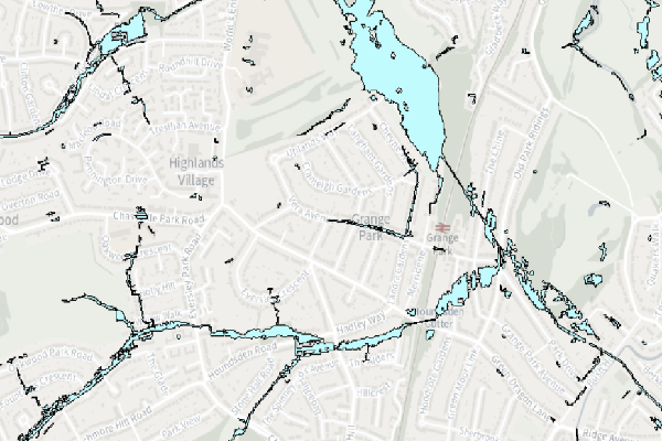
This dataset shows risk of flooding according to 3 timeframes; 1 in 30 year years (3.3%), 1 in 100 years (1%) and 1 in 1000 years (0.1%), respectively.
Risk of Flooding from Surface Water is not to be used at property level. If the Content is displayed in map form to others the Environment Agency recommend it should not be used with
basemapping more detailed than 1:10,000 as the data is open to misinterpretation if used as a more detailed scale. Because of the way they have been produced and the fact
that they are indicative, the maps are not appropriate to act as the sole evidence for any specific planning or regulatory decision or assessment of risk in relation to flooding
at any scale without further supporting studies or evidence.
Attribution: Contains OS data © Crown copyright and database right 2015.
Some features of this information are based on digital spatial data licensed from the Centre for Ecology & Hydrology © NERC (CEH). Defra, Met Office and DARD Rivers Agency © Crown copyright. © Cranfield University.
© James Hutton Institute. Land & Property Services © Crown copyright and database right.
- Topic Category
- environment
- Keyword
- Keyword Value: Floording, Risk of Flooding
Originating Controlled Vocabulary: GEMET - INSPIRE Spatial Data Themes (GEMET)
Originating Controlled Vocabulary Citation: 2008-01-01
- Temporal Extent
- from -1960- to -2013-04
- Dataset Reference Date
- Date:2011-08-10 -2013-04
Date Type:publication, revision
- Lineage
- This data is provided by the Environment Agency, which HCC take a copy of.
The site to download the data, or consume the data in a variety of other spatial formats, is:
1 in 30 year
1 in 100 year
1 in 1000 year
IPR:
Product:
Date:
- Extent
- Hertfordshire County
- Vertical Extent
- -
- Spatial Reference System
- OSGB36 - National Grid of Great Britain
- Spatial Resolution
- Resource Locator
-
- Within the eafloodriskextra service
- Format
- ESRI/SDE
- Responsible Organisation
- Environment Agency
Please email DSPcustomerforum@environment-agency.gov.uk for any queries.
- Limitations on Public Access
- Copyright Controlled. Use is subject to licence.
- Use Constraints
- You must use the appropriate Copyright Acknowledgement;
© Environment Agency copyright and/or database right 2015. All rights reserved.
Some features of this information are based on digital spatial data licensed from the Centre for Ecology & Hydrology © NERC (CEH). Defra, Met Office and DARD Rivers Agency
© Crown copyright. © Cranfield University. © James Hutton Institute. Contains OS data © Crown copyright and database right 2015. Land & Property Services © Crown copyright and database right.
- Additional information
- Resource Identifier
- Conformity
- Commission Regulation (EU) No 1089/2010 of 23 November 2010 implementing Directive 2007/2/EC of the European Parliament and of the Council
as regards interoperability of spatial data sets and services.
2010-12-08
notEvaluated
Re-designing HCC Data for INSPIRE not done
- Equivalent scale
- Bounding box
- 0.76, 0.22, 51.58, 52.10
- Quality scope
- Dataset
- Spatial representation type
- vector
- Character encoding
- UTF-8
- Data quality
- -
- Maintenance information
- maintenance and update frequency:unknown
- update scope:
- maintenance note:
- Metadata update date
- -2021-11-29
- Metadata Language
- English
- Metadata Point of Contact
- Hertfordshire County Council - Corporate GIS Team
Email :gis@hertfordshire.gov.uk
- Resource Type
- 6 Dataset
- File Identifier
- Hierarchy level name
- dataset
- Parent identifier
- -
- Metadata standard name
- UK GEMINI
- Metadata standard version
- 2.3
- Review date
- -
- Attributes
-
| Name |
Long Name |
Description |
|
|
|
|
|
|
|
|
|
|
|
|
|
|
|
|
|
|
|
|
|
- OSGB36 National Grid Bounding Coordinates
- West: 486000 East: 552000
North: 245000 South: 189000
- More Information
- Change History