Metadata
Regional Flood and Coastal Committee Areas
- Title
- Regional Flood and Coastal Committee Areas
- Alternative Title
- RFCCs
-
- Dataset Language
- eng
- Abstract
-
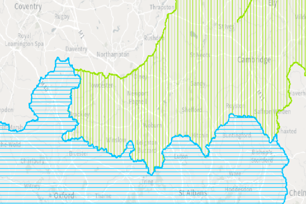
There are 12 regional flood and coastal committees (RFCCs). RFCCs play an important role in helping to protect communities from flooding and coastal erosion. They help the Environment Agency
and partners to understand local issues better, and to balance local and national priorities..
- Topic Category
- environment
- Keyword
- Keyword Value: Flood, Coastal
Originating Controlled Vocabulary: GEMET - INSPIRE Spatial Data Themes (GEMET)
Originating Controlled Vocabulary Citation: 2008-01-01
- Temporal Extent
- from -1960- to -2013-04
- Dataset Reference Date
- Date:2011-08-10 -2013-04
Date Type:publication, revision
- Lineage
- This data is provided by the Environment Agency, which HCC take a copy of. This can be reached here.
In October 2019 the Anglian (Central) RFCC changed its name to the Anglian (Greeat Ouse) RFCC
IPR:
Product:
Date:
- Extent
- Hertfordshire County
- Vertical Extent
- -
- Spatial Reference System
- OSGB36 - National Grid of Great Britain
- Spatial Resolution
- 1m
- Resource Locator
-
- Within the floodmanareas service
- Format
- ESRI/SDE
- Responsible Organisation
- Environment Agency
Please email enquiries@environment-agency.gov.uk for any queries.
- Limitations on Public Access
- Copyright Controlled. Use is subject to licence.
- Use Constraints
- You must use the appropriate Copyright Acknowledgement;
© Environment Agency copyright and/or database right. Contains OS data © Crown copyright and database right (2023)
- Additional information
- Resource Identifier
- Conformity
- Commission Regulation (EU) No 1089/2010 of 23 November 2010 implementing Directive 2007/2/EC of the European Parliament and of the Council
as regards interoperability of spatial data sets and services.
2010-12-08
notEvaluated
Re-designing HCC Data for INSPIRE not done
- Equivalent scale
- Bounding box
- 0.76, 0.22, 51.58, 52.10
- Quality scope
- Dataset
- Spatial representation type
- vector
- Character encoding
- UTF-8
- Data quality
- -
- Maintenance information
- maintenance and update frequency:unknown
- update scope:
- maintenance note:
- Metadata update date
- -2021-11-29
- Metadata Language
- English
- Metadata Point of Contact
- Hertfordshire County Council - Corporate GIS Team
Email :gis@hertfordshire.gov.uk
- Resource Type
- 6 Dataset
- File Identifier
- Hierarchy level name
- dataset
- Parent identifier
- -
- Metadata standard name
- UK GEMINI
- Metadata standard version
- 2.3
- Review date
- -
- Attributes
-
| Name |
Long Name |
Description |
|
|
|
|
|
|
|
|
|
|
|
|
|
|
|
|
|
|
|
|
|
- OSGB36 National Grid Bounding Coordinates
- West: 486000 East: 552000
North: 245000 South: 189000
- More Information
- Change History