Metadata
Cables
- Title
- Underground Electricity Transmission Cables
- Alternative Title
- Cables
-
- Dataset Language
- eng
- Abstract
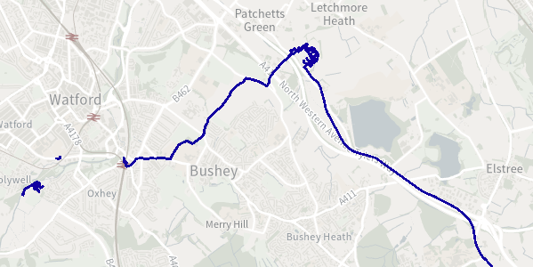
- Cables are high voltage underground cables (not in tunnels) used for transmitting electrical energy where traditional tower overhead lines cannot be used.
- Topic Category
- structure, utilitiesCommunication
- Keyword
- Keyword Value: National Grid, Transmission, Electricity, Cables
Originating Controlled Vocabulary: GEMET - INSPIRE Spatial Data Themes (GEMET)
Originating Controlled Vocabulary Citation: 2016-03-29
- Temporal Extent
- from 2009-04-17 to 2023-08-10
- Dataset Reference Date
- Date: 2023-08-10
Date Type: revision
- Lineage
-
IPR:
Product:
Date:
- Extent
- GB
- Vertical Extent
- -
- Spatial Reference System
- OSGB36 - National Grid of Great Britain
- Spatial Resolution
- 0.25m
- Resource Locator
-
- Layerfile for use by HCC internal staff: Access via Portal
- Format
- ESRI/SDE
- Responsible Organisation
- National Grid
Email :box.GIS@nationalgrid.com
Role: Point of Contact.
- Limitations on Public Access
- OtherRestrictions
- Use Constraints
- This dataset is for indicative purposes only. It can only be used for Emergency and Land Use planning and cannot be used for commercial purposes. This dataset is owned by National Grid and acknowledgement of this is required in your product or application using © National Grid UK.
This data is supplied on a best effort basis only, utilising available information as documented at the time by the transmission network operators. While every effort is made to ensure the information is accurate and up-to-date, National Grid does not accept any liability for any direct, indirect or consequential loss or damage of any nature, however caused, which may be sustained as a result of reliance upon such information
- Additional information
- Resource Identifier
- Conformity
- 2016-03-29
Revision
No data conformity checks have been carried out
- Equivalent scale
- Bounding box
- -8.655, 1.79, 49.9, 60.85
- Quality scope
- Dataset
- Spatial representation type
- vector
- Character encoding
- UTF-8
- Data quality
- This dataset is for indicative purposes only. It can only be used for Emergency and Land Use planning and cannot be used for commercial purposes. It is owned by National Grid and acknowledgement of this is required in your product or application using © National Grid UK.
The data is supplied on a best effort basis only, utilising available information as documented at the time by the transmission network operators. While every effort is made to ensure the information is accurate and up-to-date, National Grid does not accept any liability for any direct, indirect or consequential loss or damage of any nature, however caused, which may be sustained as a result of reliance upon such information.
The dataset contains Gas and Electricity Transmission data only. For Gas or Electricity distribution data, please contact the retaining distribution company for your area and see the following websites for more information and contact details:
Electricity Distribution: http://www2.nationalgrid.com/UK/Our-company/electricity/Distribution-Network-Operator-Companies/
Gas Distribution: http://www2.nationalgrid.com/UK/Our-company/Gas/Gas-Distribution-Network/
If you are planning to undertake any ground works please see the following website (http://cadentgas.com/Digging-safely) or contact the Plant Protection team at least 14 days in advance on 0800 688 588 or plantprotection@cadentgas.com.
For any National Grid Transmission GIS related enquiries, please email box.GIS@nationalgrid.com.
- Maintenance information
- maintenance and update frequency: Annually
- update scope: Na
- maintenance note:
- Metadata update date
- 2023-08-10
- Metadata Language
- English
- Metadata Point of Contact
- National Grid
Email :box.GIS@nationalgrid.com
- Resource Type
- 6 Dataset
- File Identifier
- Hierarchy level name
- dataset
- Parent identifier
- -
- Metadata standard name
- UK GEMINI
- Metadata standard version
- 2.3
- Review date
- -
- Attributes
-
| Name |
Long Name |
Description |
|
|
|
|
|
|
|
|
|
|
|
|
|
|
|
|
|
|
|
|
|
- OSGB36 National Grid Bounding Coordinates
- West: 486000 East: 552000
North: 245000 South: 189000
- More Information
- Change History