Metadata
Ordinary Watercourses
- Title
- Ordinary Watercourses
- Alternative Title
- Watercourses
- Dataset Language
- eng
- Abstract
-
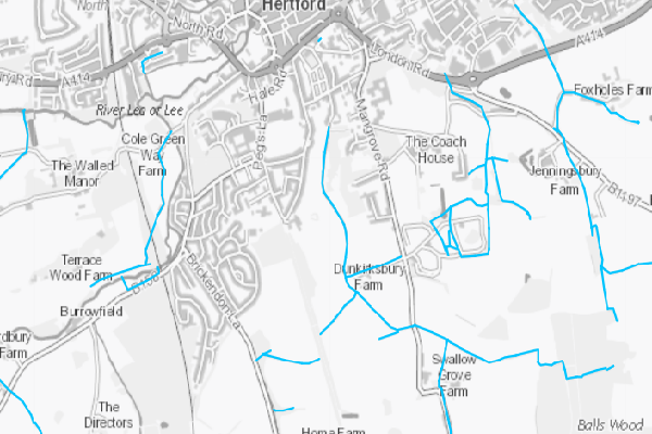
This layer is indicative of watercourses believed to be ordinary watercourses, distinct from those designated as main rivers
An ordinary watercourse is any channel that water flows through, which isnt part of the main river network or a public sewer. It could be a river, stream, ditch, drain or brook.
It is derived from a variety of data sources, but not all have been fully reviewed. We are aware of some inaccuracies and investigations are ongoing to confirm data. As such this data might not show every ordinary watercourse in Hertfordshire. If a watercourse is not on the map, please contact the Responsible Organisation below to check whether it should be recorded.
Data was inherited from a layer published by the Environment Agency - which was itself derived from feature depicted on maps/records and contributions from Councils and other organisations. - Topic Category
- environment
- Keyword
- Keyword Value: Ordinary Watercourse, Watercourse, Hertfordshire
Originating Controlled Vocabulary: GEMET - INSPIRE Spatial Data Themes (GEMET)
Originating Controlled Vocabulary Citation: 2008-01-01 - Temporal Extent
- from -1960- to -2013-04
- Dataset Reference Date
- Date:2011-08-10 -2013-04
Date Type:publication, revision - Lineage
- This data is mainted by the Flood Risk Management Team. The data is combined with other information sources, and then transposed into GIS
Data is updated as-and-when, depending on when additional data is aquired or reviewed.
IPR:
Product:
Date: - Extent
- Hertfordshire County
- Vertical Extent
- -
- Spatial Reference System
- OSGB36 - National Grid of Great Britain
- Spatial Resolution
- 1m
- Resource Locator
- Within 2 services: ordwaterpublic & ordwaterextra
- Format
- ESRI/SDE
- Responsible Organisation
- Hertfordshire County Council - Environment & Transport / Sustainable Growth
Email :Ordinarywatercourses@hertfordshire.gov.uk
Role: Resource Provider, Custodian, Owner, Distributor, Originator, Point of Contact,Author. - Limitations on Public Access
- Copyright Controlled. Use is subject to licence.
- Use Constraints
- You must use the appropriate Copyright Acknowledgement;
For internal use:©Crown copyright and database rights Ordnance Survey 100019606.
For external use:© Crown copyright and database rights Ordnance Survey 100019606.
You are not permitted to copy, sub-licence, distribute or sell any of this data to third parties in any form.
For Publicly Available Electronic Copies the following must also be added:- The HCC Watermark;
- The phrase: "Use of this data is subject to terms and conditions." set out in a legible font and conspicuous position must form a clear hyperlink to the Ordnance Survey Copyright
-->
- This data is supplied without guarantee or any warranty as to the accuracy, currency or completeness,
and is provided as is, excluding any warranties of any
kind, either express or implied, to the fullest extent permitted by law,including (but not limited to) satisfactory quality or fitness for a particular purpose.
- Additional information
- Resource Identifier
- Conformity
- Commission Regulation (EU) No 1089/2010 of 23 November 2010 implementing Directive 2007/2/EC of the European Parliament and of the Council
as regards interoperability of spatial data sets and services.
2010-12-08
notEvaluated
Re-designing HCC Data for INSPIRE not done - Equivalent scale
- Bounding box
- 0.76, 0.22, 51.58, 52.10
- Quality scope
- Dataset
- Spatial representation type
- vector
- Character encoding
- UTF-8
- Data quality
- -
- Maintenance information
- maintenance and update frequency:unknown
- update scope:
- maintenance note:
- Metadata update date
- -2021-11-29
- Metadata Language
- English
- Metadata Point of Contact
- Hertfordshire County Council - Corporate GIS Team
Email :gis@hertfordshire.gov.uk - Resource Type
- 6 Dataset
- File Identifier
- Hierarchy level name
- dataset
- Parent identifier
- -
- Metadata standard name
- UK GEMINI
- Metadata standard version
- 2.3
- Review date
- -
- Attributes
-
Name Long Name Description
- OSGB36 National Grid Bounding Coordinates
- West: 486000 East: 552000 North: 245000 South: 189000
- More Information
- Change History
Use of the data is not currently commercially available.