Metadata
ITN Admissions
- Title
- ITN Admissions
- Alternative Title
- ITNDesignated Routes, ITNRoadlinks
- Dataset Language
- eng
- Abstract
- Ordnance Survey ITN modified for school transport allocation purposes - low income transport.
- Topic Category
- transportation
- Keyword
- Keyword Value: Schools, Transport
Originating Controlled Vocabulary: GEMET - INSPIRE Spatial Data Themes (GEMET)
Originating Controlled Vocabulary Citation: 2008-01-01 - Temporal Extent
- from2009-10-14 to2018-03-01
- Dataset Reference Date
- Date: 2019-09-24
Date Type: revision - Lineage
- A query of the ITN Road Links to remove roads that are inaccessable to pupils, to best represent the
School Transport Provision requirement as understood Jan 2008:
DescTerm = 'A Road' OR DescTerm = 'B Road' OR DescTerm = 'Local Street' OR DescTerm = 'Minor Road' OR DescTerm = 'Motorway' OR DescTerm = 'Private Road - Publicly Accessible' OR (DescTerm = 'Private Road - Restricted Access' AND HasGate IS null)
Once created the new layer is converted to .TAB format to used by Admissions in their system (Serverlec "Synergy" System - previously, and still in some file names "Tribal").
IPR: Ordnance Survey
Product: MasterMap Integrated Transport Network Links (ITN)
Date: 2018-03 - Extent
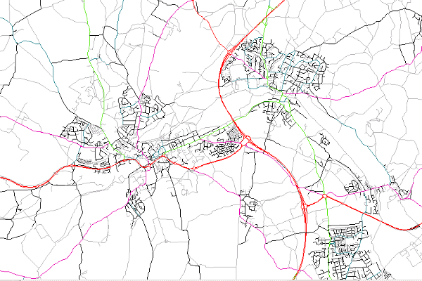
- Hertfordshire County
- Vertical Extent
- -
- Spatial Reference System
- OSGB36 - National Grid of Great Britain
- Spatial Resolution
- 1m
- Resource Locator
- Format
- ESRI/SDE
- Responsible Organisation
- Hertfordshire County Council - Corporate GIS Team
Email :gis@hertfordshire.gov.uk
Role: Resource Provider, Custodian, Owner, Distributor, Originator, Point of Contact, Processor, Publisher, Author. - David Court - Admissions and Transport
Email :david.court@hertfordshire.gov.uk
Role: Custodian - Limitations on Public Access
- OtherRestrictions
- Use Constraints
- Licensed under the Public Sector Geospatial Agreement;
- You must use the appropriate Copyright Acknowledgement;
For internal use:©Crown copyright and database rights Ordnance Survey AC0000849954.
For external use:© Crown copyright and database rights Ordnance Survey AC0000849954.
You are not permitted to copy, sub-licence, distribute or sell any of this data to third parties in any form.
For Publicly Available Electronic Copies the following must also be added:- The HCC Watermark;
- The phrase: "Use of this data is subject to terms and conditions." set out in a legible font and conspicuous position must form a clear hyperlink to the Ordnance Survey Copyright
- This data is supplied without guarantee or any warranty as to the accuracy, currency or completeness,
and is provided as is, excluding any warranties of any
kind, either express or implied, to the fullest extent permitted by law,including (but not limited to) satisfactory quality or fitness for a particular purpose.
- Additional information
- Resource Identifier
- Conformity
- Commission Regulation (EU) No 1089/2010 of 23 November 2010 implementing Directive 2007/2/EC of the European Parliament and of the Council
as regards interoperability of spatial data sets and services.
2010-12-08
notEvaluated
Re-designing HCC Data for INSPIRE not done - Equivalent scale
- 1m
- Bounding box
- 0.76, 0.22, 51.58, 52.10
- Quality scope
- Dataset
- Spatial representation type
- vector
- Character encoding
- UTF-8
- Data quality
- -
- Maintenance information
- maintenance and update frequency: Not Planned
- update scope:
- maintenance note: The 2018-03 data was the last release of ITN, so this dataset cannot be updated.
- Metadata update date
- 2021-06-03
- Metadata Language
- English
- Metadata Point of Contact
- Hertfordshire County Council - Corporate GIS Team
Email :gis@hertfordshire.gov.uk - Resource Type
- 6 Dataset
- File Identifier
- ITNAdmissions
- Hierarchy level name
- dataset
- Parent identifier
- -
- Metadata standard name
- UK GEMINI
- Metadata standard version
- 2.3
- Review date
- -
- Attributes
-
Name Long Name Description
- OSGB36 National Grid Bounding Coordinates
- West: 486000 East: 552000 North: 245000 South: 189000
- More Information
- Change History