Metadata
Settlements
- Title
- Settlements
- Alternative Title
- Settle
- Dataset Language
- eng
- Abstract
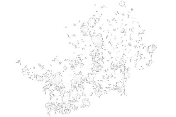
- The 456 towns and villages in Hertfordshire with 10 or more Residential Address Points, together with their 2007 population figures.
- Topic Category
- Keyword
- Keyword Value: Communities Settlement Town Village boundary
Originating Controlled Vocabulary: GEMET - INSPIRE Spatial Data Themes (GEMET)
Originating Controlled Vocabulary Citation: 2008-01-01 - Temporal Extent
- from -2000 to -2012;
- Dataset Reference Date
- Date:2000 -2012
Date Type: revision - Lineage
- The settlement file is an update to an dataset orinally called "Urban Areas" (created in 1991).
All boundaries have been digitised against master-map (1:1250) at a scale of 1:500. Each boundary should be at a distict master map edge.
In most cases the line has been "re-digitised" by changing the position of the boundary edge from the 2007 settlement file (itself) using the ARCGIS Map Topology tools.
Each existing settlement was checked using the Settlement Boundary Rules. By using the Map Topology toolset it meant that boundaries that were meant to be coincident
(for example Baldock and Letchworth) could really become so. At the same time,
the whole process was made faster by the ability to trace along the MasterMap lines themselves.
At the start of the digitising process it had been decided not to include the allotments. These were then added by highlighting where they were on the edge of a settlement
and the boundaries re-digitised.
The names of the settlements were checked to ensure they were unique. Where not the highest administrative area's name was added in brackets - i.e. district or civil parish;
"Church End (Little Hadham CP)", "Church End (Stocking Pelham CP)" and "Church End (Three Rivers)".
The settlement file was cliped to the 1:10,000 Ordnance Survey BoundaryLine for Hertfordshire County.
Finally, the population of each settlement was estimated. This used the most recent residential AddressPoint file for the county (2009-12) and the 2007 Mid-Year Population Figures.
IPR: Ordnance Survey
Product: MasterMap
Date: 2012 - Extent
- Hertfordshire County
- Vertical Extent
- -
- Spatial Reference System
- OSGB36 - National Grid of Great Britain
- Spatial Resolution
- 1m
- Resource Locator
- Layerfile for use by HCC internal staff: \Geodata\HCC\Community
Public web map viewerL
https://webmaps.hertfordshire.gov.uk/hertfordshire/index.htm - Format
- ESRI/SDE
- Responsible Organisation
- Hertfordshire County Council - Corporate GIS Team
Email :gis@hertfordshire.gov.uk
Role: Resource Provider, Custodian, Owner, Distributor, Originator, Point of Contact, Processor, Publisher, Author. - Limitations on Public Access
- OtherRestrictions
- Use Constraints
- Licensed under the Public Sector Geospatial Agreement;
- You must use the appropriate Copyright Acknowledgement;
For internal use:©Crown copyright and database rights Ordnance Survey AC0000849954.
For external use:© Crown copyright and database rights Ordnance Survey AC0000849954.
You are not permitted to copy, sub-licence, distribute or sell any of this data to third parties in any form.
For Publicly Available Electronic Copies the following must also be added:- The HCC Watermark;
- The phrase: "Use of this data is subject to terms and conditions." set out in a legible font and conspicuous position must form a clear hyperlink to the Ordnance Survey Copyright
- Use of the data is available to any organisation that is a member of the PSGA (Public Sector Geospatial Agreement) or any UK academic institution via Edina's subscription Digimap service. It is not currently commercially available.
- This data is supplied without guarantee or any warranty as to the accuracy, currency or completeness,
and is provided as is, excluding any warranties of any
kind, either express or implied, to the fullest extent permitted by law,including (but not limited to) satisfactory quality or fitness for a particular purpose.
- Additional information
- Resource Identifier
- Conformity
- Commission Regulation (EU) No 1089/2010 of 23 November 2010 implementing Directive 2007/2/EC of the European Parliament and of the Council
as regards interoperability of spatial data sets and services.
2010-12-08
notEvaluated
Re-designing HCC Data for INSPIRE not done - Equivalent scale
- Bounding box
- 0.76, 0.22, 51.58, 52.10
- Quality scope
- Dataset
- Spatial representation type
- vector
- Character encoding
- UTF-8
- Data quality
- -
- Maintenance information
- maintenance and update frequency:
- update scope:
- maintenance note:
- Metadata update date
- --
- Metadata Language
- English
- Metadata Point of Contact
- Hertfordshire County Council - Corporate GIS Team
Email :gis@hertfordshire.gov.uk - Resource Type
- 6 Dataset
- File Identifier
- Hierarchy level name
- dataset
- Parent identifier
- -
- Metadata standard name
- UK GEMINI
- Metadata standard version
- 2.3
- Review date
- -
- Attributes
-
Name Long Name Description
- OSGB36 National Grid Bounding Coordinates
- West: 486000 East: 552000 North: 245000 South: 189000
- More Information
- Change History