Metadata
Air Quality Management Areas
- Title
- Air Quality Management Areas
- Alternative Title
- AQMA
- Dataset Language
- eng
- Abstract
- Air Quality Management Areas (AQMAs) are a District Designation. Hertfordshire areas have been collated solely for use by planners withing the County Council; all external queries should be referred to the individual Distrct.
- AQMAs are declared when there is an exceedance or likely exceedance of an air quality objective. After declaration, the authority must prepare an Air Quality Action Plan (AQAP) within 12-18 months setting out measures it intends to put in place in pursuit of compliance with the objectives.
- Topic Category
- environment
- Keyword
- Keyword Value:
Originating Controlled Vocabulary: GEMET - INSPIRE Spatial Data Themes (GEMET)
Originating Controlled Vocabulary Citation: 2008-01-01 - Temporal Extent
- from -- to --
- Dataset Reference Date
- Date: --
Date Type: revision - Lineage
-
IPR:
Product:
Date: - Extent
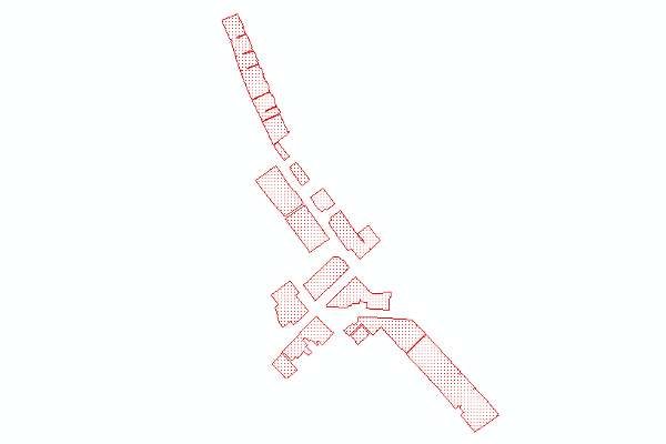
- Hertfordshire County
- Vertical Extent
- -
- Spatial Reference System
- OSGB36 - National Grid of Great Britain
- Spatial Resolution
- 1m
- Resource Locator
- Layerfile for use by HCC internal staff:
- Format
- ESRI/SDE
- Responsible Organisation
- Hertfordshire County Council - Corporate GIS Team
Email :gis@hertfordshire.gov.uk
Role: Resource Provider, Custodian, Owner, Distributor, Originator, Point of Contact, Processor, Publisher, Author. - Limitations on Public Access
- Use Constraints
- This data is supplied without guarantee or any warranty as to the accuracy, currency or completeness,
and is provided as is, excluding any warranties of any
kind, either express or implied, to the fullest extent permitted by law,including (but not limited to) satisfactory quality or fitness for a particular purpose.
- Additional information
- Resource Identifier
- Conformity
- Commission Regulation (EU) No 1089/2010 of 23 November 2010 implementing Directive 2007/2/EC of the European Parliament and of the Council
as regards interoperability of spatial data sets and services.
2010-12-08
notEvaluated
Re-designing HCC Data for INSPIRE not done - Equivalent scale
- Bounding box
- 0.76, 0.22, 51.58, 52.10
- Quality scope
- Dataset
- Spatial representation type
- vector
- Character encoding
- UTF-8
- Data quality
- -
- Maintenance information
- maintenance and update frequency:
- update scope:
- maintenance note:
- Metadata update date
- --
- Metadata Language
- English
- Metadata Point of Contact
- Hertfordshire County Council - Corporate GIS Team
Email :gis@hertfordshire.gov.uk - Resource Type
- 6 Dataset
- File Identifier
- Hierarchy level name
- dataset
- Parent identifier
- -
- Metadata standard name
- UK GEMINI
- Metadata standard version
- 2.3
- Review date
- -
- Attributes
-
Name Long Name Description
- OSGB36 National Grid Bounding Coordinates
- West: 486000 East: 552000 North: 245000 South: 189000
- More Information
- Change History
Use of the data is available to any organisation that is a member of the PSGA (Public Sector Geospatial Agreement) or any UK academic institution via Edina's subscription Digimap service. It is not currently commercially available.